
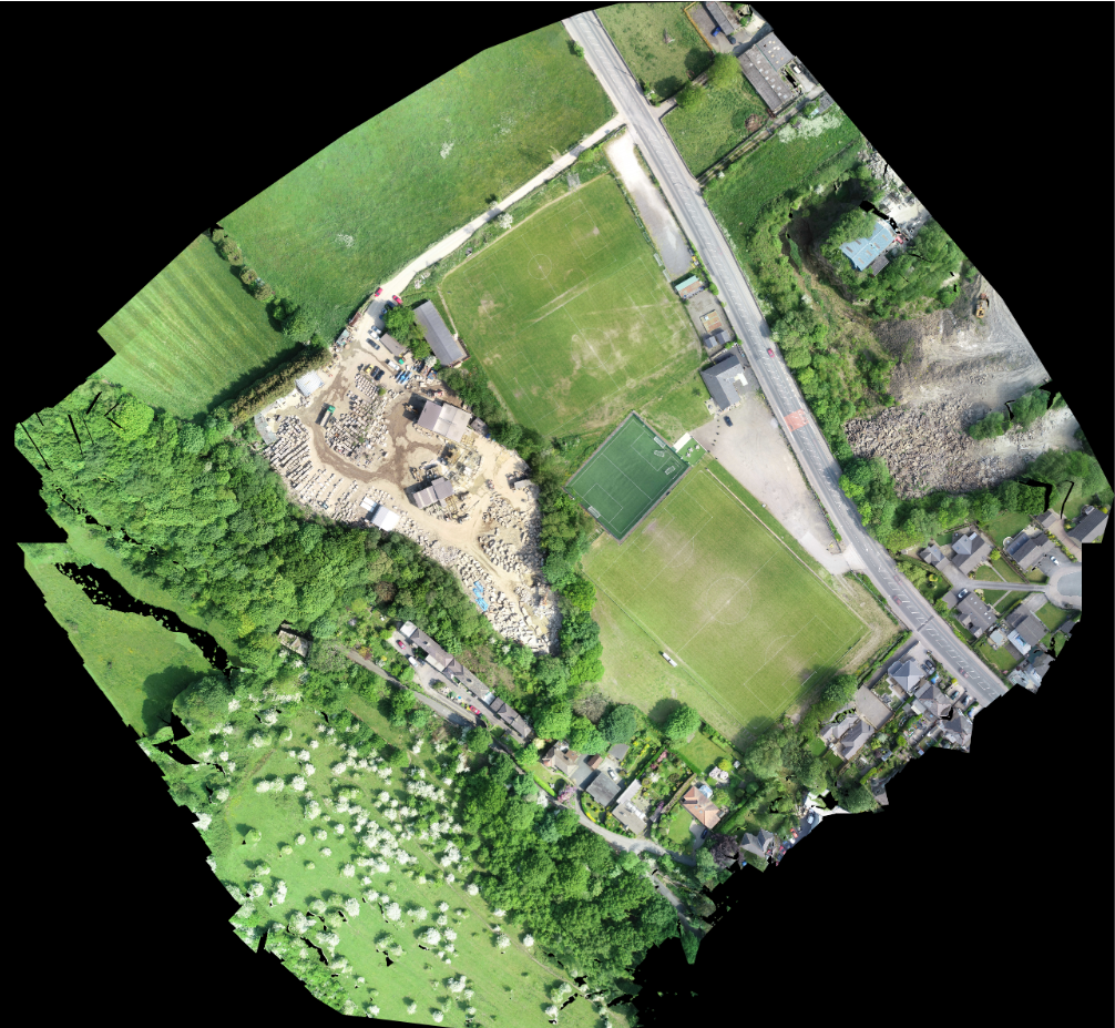


Land Surveys
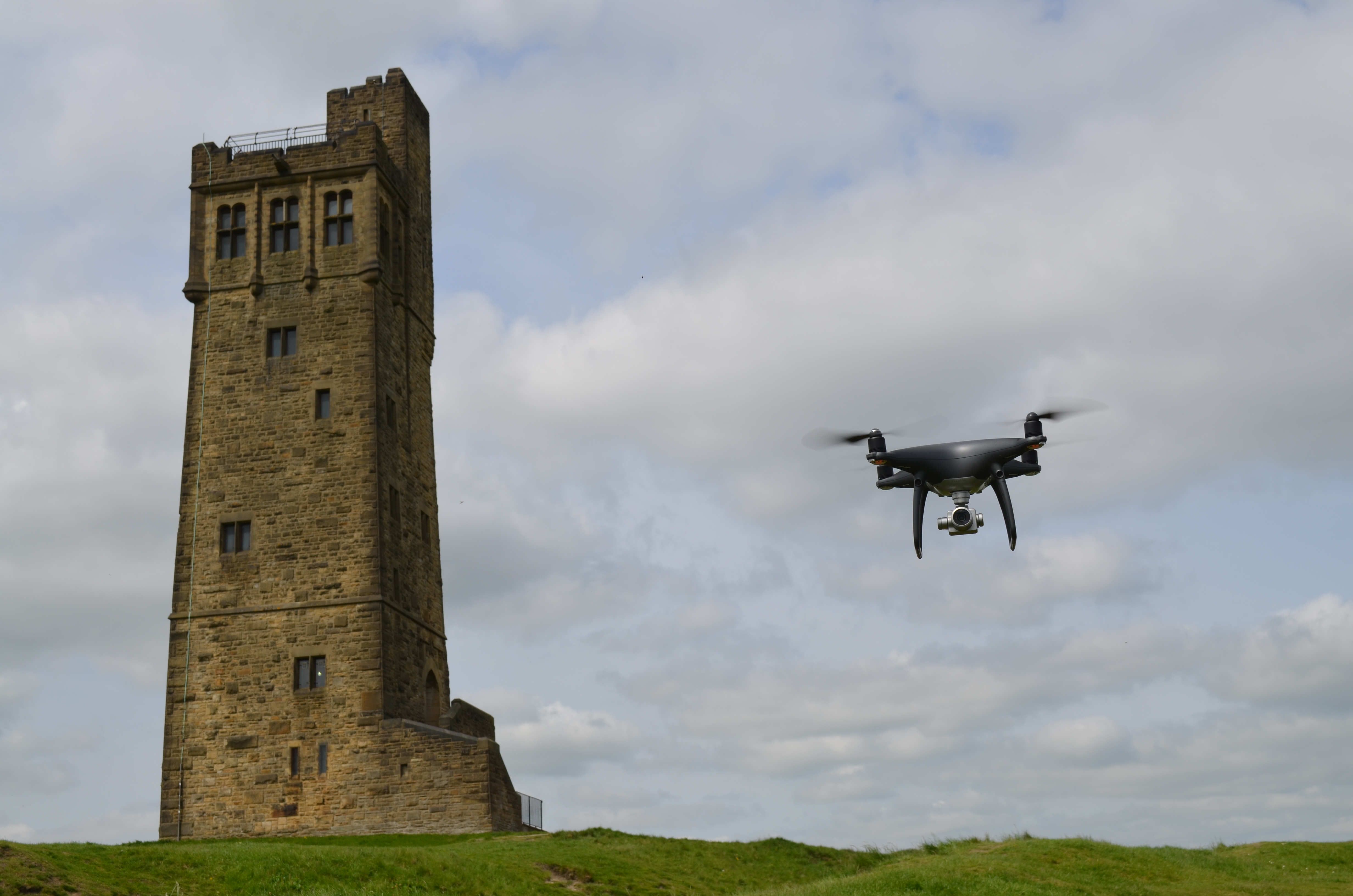
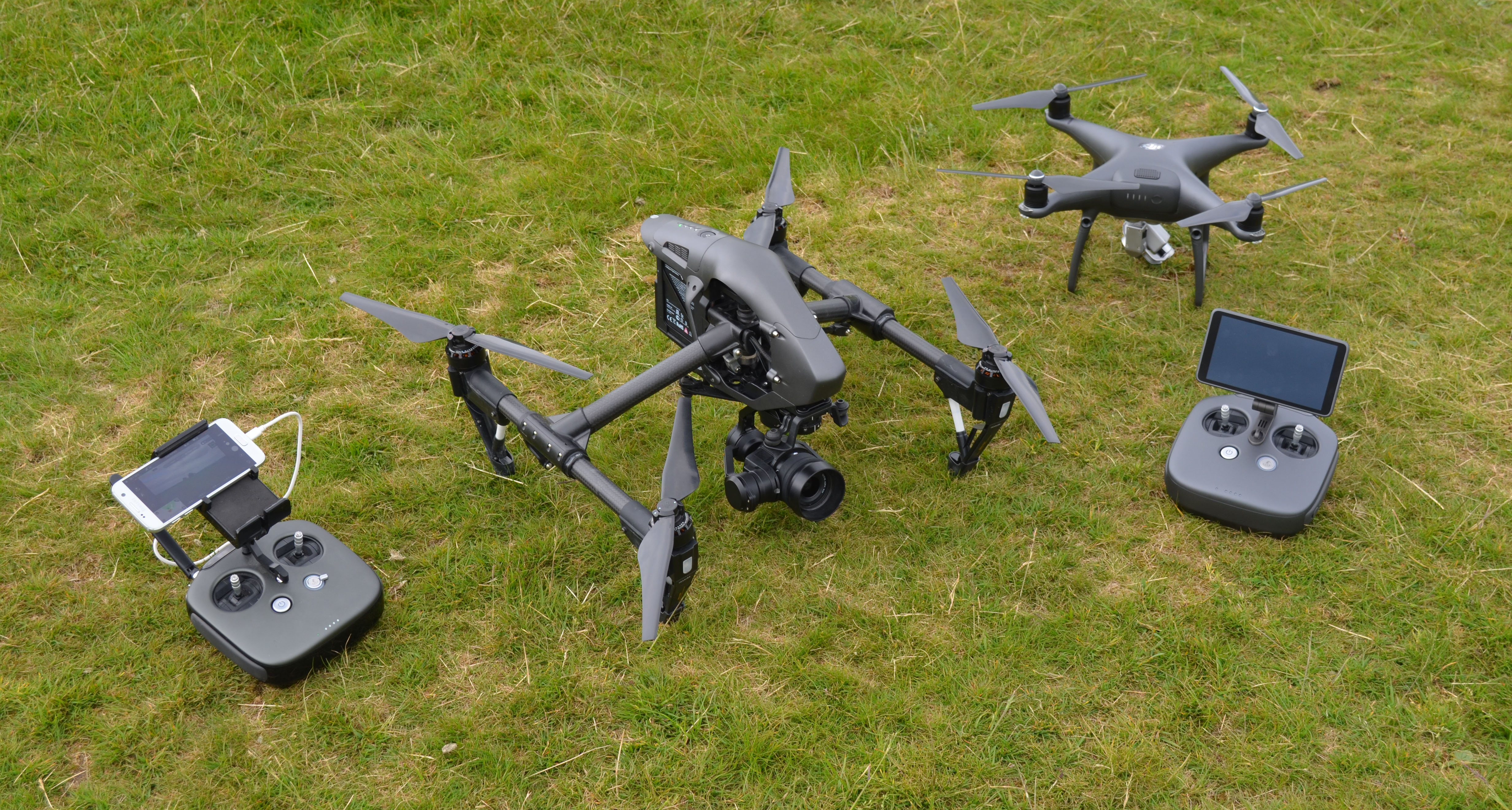
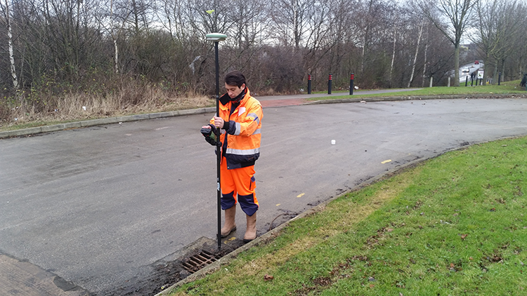
Linear Surveys Ltd undertake topographical site surveys using the latest Leica Total Station and GPS survey technology, we are able to provide our clients with cost effective, highly accurate and detailed survey information.
The scale of the survey plans and the level of detail collected are tailored to the specific needs of the client.
Using dedicated land survey software LSS by McCarthey Taylor Partnership and AutoCAD we are able to provide both 2D and 3D information for input into most other systems.
Final survey drawings can be supplied as hard copies on paper or film medium. Digital information can be provided in either 2D or 3D in file formats such as DWG, DXF, MOSS and most other system formats.

Quick Enquiry
| Home Contact Us Gallery Examples of Work Cookie Policy |
Topographical / Land Surveys Measured Building & Elevation Surveys Setting Out |
Volumetric Calculations 3D Geological Modeling Subsidence & Deformation Monitoring |
 |
Newsletter |
| Copyright 2026 Linear Surveys | Web Design by WTS Technologies | |||